| Interaction type | Public → Government → Public |
| Trigger Event | The National Map Corps project became available nationwide. |
| Domain | Structures data are in the public domain and are used to update The National Map and USTopo. |
| Organisation |
U.S. Geological Survey, National Geospatial Program. |
| Actors |
The general public and local, state, and federal agencies including the US Geological Survey. |
| Data sets in use |
USDA National Aerial Imagery Program (NAIP) Imagery, The National Map Base Layers, ESRI World Imagery, Alaska Community Photos, the National Structures Database, and USTopo. |
| Process |
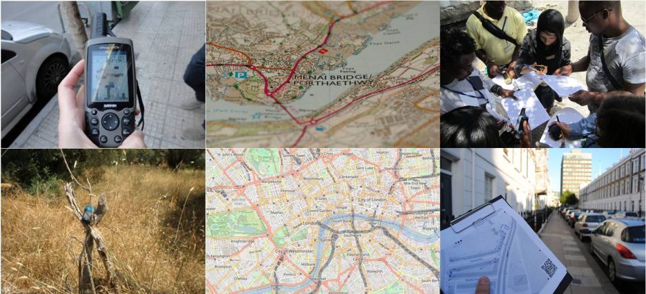
Using crowd-sourcing techniques, the US Geological Survey’s (USGS) Volunteered Geographic Information (VGI) project known as “The National Map Corps (TNMCorps)” encourages citizen volunteers to collect and edit data about man-made structures in an effort to provide accurate and authoritative spatial map data for the USGS National Geospatial Program’s (http://www.usgs.gov/ngpo/) web-based The National Map. |
| Feedback | Updated structures are contributed in real-time. Databases are downloaded on a nightly basis. |
| Goal |
Maximize limited resources while continuing to support the National Geospatial Program by leveraging volunteers with local knowledge to update The National Map and USTopo. Data collected is in the public domain and freely downloadable. |
| Side effects | – |
| Contact person | Elizabeth McCartney, emccartney@usgs.gov or nationalmapcorps@usgs.gov |
VGI is not new to the USGS, but past efforts have been hampered by available technologies. Over the past two decades, the USGS has sponsored various forms of volunteer map data collection projects, including the Earth Science Corps where volunteers annotated topographic paper maps, the collection of GPS points using handheld GPS devices, and finally, web-based technology to input data in 2006. In spite of these efforts, and as valuable as the updates were, technology could not keep pace with decreasing USGS resources, and the VGI effort was suspended in 2008. Today, the perfect storm of improved technology, social media, and ever decreasing resources has once again made crowd-sourcing an attractive option.
After several pilot projects to determine the viability of bringing back the volunteer mapping program, The National Map Corps volunteers are successfully editing 10 different structure types in all 50 States, including schools, hospitals, post offices, police stations and other important public buildings. Using National Agricultural Imagery Program (NAIP) imagery as the primary base layer, volunteers collect and improve structures data by adding new features, removing obsolete points, and correcting existing data. Edits are contributed through a web-based mapping platform built using open source technology developed by OpenStreetMap. Points edited are incorporated into The National Map and ultimately become part of USTopo.
Data quality is a common concern regarding VGI. In order to address those concerns, an analysis of a pilot project over the State of Colorado was conducted. For all structure feature types, volunteer involvement was found to improve positional accuracy, attribute accuracy, and reduce errors of commission. The Colorado pilot demonstrated that volunteer edits improve our baseline structures data; that further review by advanced volunteers willing to provide peer review improves the data further; and that sample-based inspection by USGS personnel can monitor these processes.
Successful crowd-sourcing is not without challenges, some of which include volunteer recruitment, volunteer engagement, and participant motivation. The National Map Corps endeavors to meet these challenges using gamification techniques and a mixture of traditional and social media. Gamification includes easy on-ramping, virtual recognition badges, friending, map challenges, social media interaction, and a tiered editing approach. Using these techniques has been successful. The National Map Corps continues to see substantial increases in the number of volunteers and volunteer contributions to The National Map.
Challenges continue to exist and include: organizational resistance to accepting data from volunteers as being “good enough” to populate national databases; and working through issues for which there is no well-established policy regarding government accepting data from citizens. One example is the requirement to obtain approval for conducting a “survey” from the Office of Management and Budget as part of the “Paperwork Reduction Act” even though the project really isn’t conducting a “survey.”
The National Map Corps has shown that volunteers can effectively contribute to the quality of structures data shown on The National Map and USTopo. Key factors to successful crowd-sourcing include building on past experience, leveraging existing technology, and having the support of key individuals within the organization.
Main Lessons
- Adoption of challenging techniques such as gamification has been successful and attracts volunteers’ interest.
-
Evaluation of the quality indicated that the participation improves accuracy and reduces the errors.
-
Organizational resistance to accepting data from volunteers is one of the major challenges that the project has faced.
-
Key factors to successful crowd-sourcing include building on past experience, leveraging existing technology, and having the support of key individuals within the organization.
References
https://www.fsa.usda.gov/FSA/apfoapp?area=home&subject=prog&topic=nai
